ADVOCACY: ESA: Innovation in Earth observation brings benefits to all
The latest innovations in Earth observation hold exciting promise to significantly advance our ability to overcome global environmental and sustainability challenges
Earth observation satellites have proven to be a game changer, helping us better understand the complexities of our planet while also responding to the pressing challenges we face relating to the environment, climate change and sustainability. Satellite data are not only used to answer crucial Earth science questions, but also, importantly, to forecast the weather and assist when disaster strikes, to provide essential information to optimise, for example, agricultural practices, water management and the siting of renewable energy plants, and to address issues such as maritime safety.
With satellite data now forming the basis for evidence-based decision making and countless everyday applications, the need for information is growing at an ever-increasing rate. The European Space Agency, a world leader in Earth observation, is steadfastly dedicated to fostering the development of the cutting-edge spaceborne technology needed to further understand the planet, improve the daily lives of citizens and support effective policymaking for a more sustainable future, while also benefiting businesses and economies across the world.
Space-based systems have seen significant advances in recent years, driven by technological innovation and the increasing demand for accurate, timely and comprehensive data about our planet. These innovations span various areas, including satellite technology, data processing and information sharing. Copernicus – the world-leading Earth observation system and a key part of the European Union’s Space Programme – is the result of many of these advances. Copernicus provides accurate, timely and easily accessible information, available free of charge for a wide range of ‘operational’ services and users, as well as enabling improved management of the environment, understanding and mitigation of the effects of climate change, and ensuring civil security.
Multiple applications
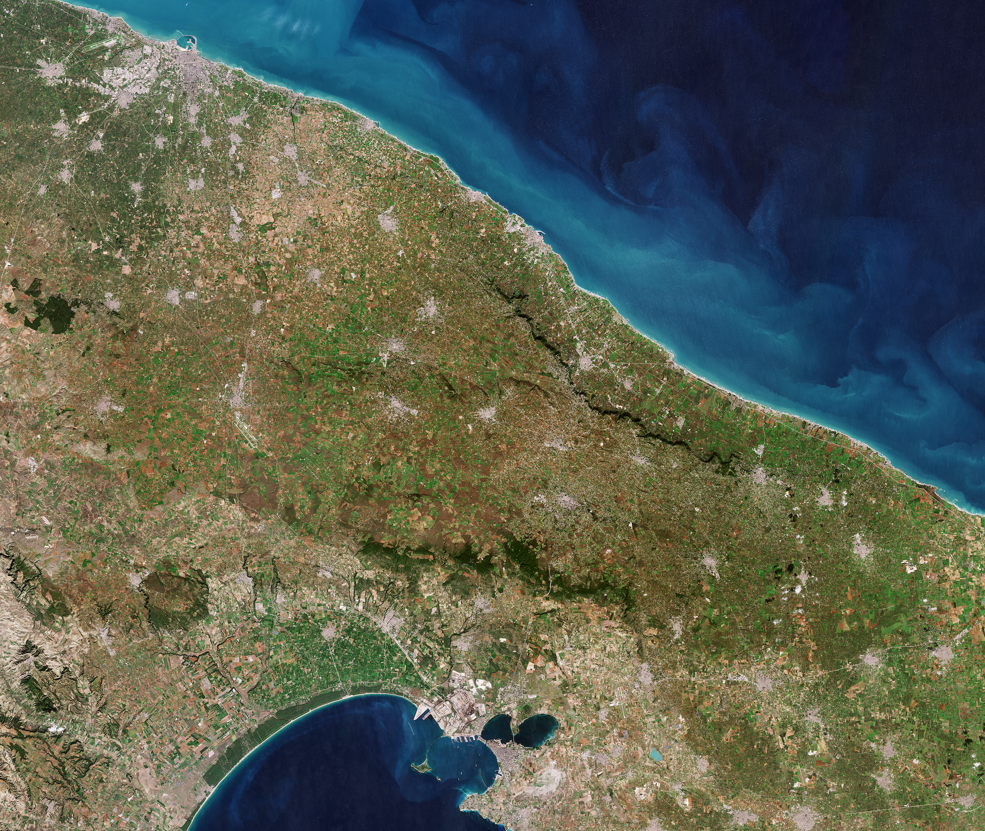
Complementing Copernicus, the development of high-resolution imaging satellites equipped with advanced sensors capable of capturing images of Earth’s surface in unprecedented clarity and detail has given rise to multiple new applications for urban planning and crop monitoring.
Additionally, the emergence of small satellites has made the development of Earth observation solutions far more accessible. This is enabling researchers, start-ups and even students to participate in monitoring and understanding our planet through cost-effective approaches for specific applications such as pollution monitoring and maritime surveillance.
The ongoing development of data-sharing platforms and collaboration initiatives has facilitated the exchange of Earth observation data among governments, organisations and researchers worldwide. Open-data policies and cloud-based platforms, such as ESA’s Sentinel Hub, provide easy access to a wealth of satellite imagery and related datasets, fostering innovation and collaboration for research and applications.
One of the most exciting developments in trying to ensure the fullest advantage can be taken from the wealth of Earth observation satellite data has been the convergence of artificial intelligence solutions with the Earth observation domain. ESA’s Φ-lab, which aims to accelerate transformational innovation, has been investigating the use of AI to enhance the way the planet is monitored and understood.
AI enables the identification of key features and the extraction of actionable insight from satellite data. In particular, machine learning, a branch of AI, offers a powerful way of handling huge quantities of data. When applied to the processing of data en masse, machine learning excels in extracting information to classify land cover, monitor crops and deforestation, and track urban development and population movements. Machine learning and Earth observation data models have been used, moreover, to forecast dengue outbreaks.
A major step forward
Converting disruptive technologies such as generative AI, which augments datasets when observations are limited, represents a major step forward.
Generative AI models combined with satellite data can mimic real-world physical processes via a digital replica of the Earth – a digital twin. Yielding a deeper understanding of the physical world, a digital twin of Earth could be used to simulate and reimagine, for example, existing urban centres in different climate and air quality scenarios based on global climate projections and national air pollution policy regulations. The outcomes of these simulations are crucial to providing valuable information to enhance climate adaptation efforts and reduce human-induced greenhouse gas emissions to ensure the health of people, animals and ecosystems.
In order to facilitate work on a digital twin of Earth, ESA is also investigating the combination of AI and quantum computing techniques. Although in their nascent stages, quantum computers have garnered considerable attention from the scientific community owing to their potential to perform computations that are beyond the reach of conventional computing systems. This feature is especially important for the analysis of high-resolution satellite images and the modelling of complex systems such as the climate.
In conclusion, the latest innovations in Earth observation, including advances in satellite technology, AI and machine learning, new imaging techniques, small satellites and data-sharing platforms, are significantly enhancing our ability to monitor, understand, predict and address environmental, climate and sustainability challenges on a global scale. These innovations hold great potential to inform decision making, promote sustainability and mitigate the impacts of climate change.